Hiking route C (green)
The most beautiful hiking route through the mountains of Methana
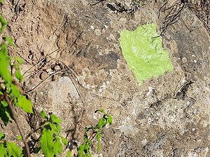
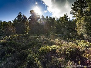
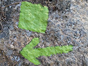
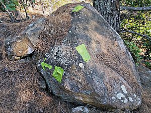
The hiking route C starts at the crossroads of Throni plain near Dritseika village (the road Methana - Megalochori). Coming from Dritseika, you turn right and walk about 300 metres until you will discover an ancient tower right hand. It is a strenuous ascent on the little road until the chapel of Agios Panteleimonas, but if you like, you may order a taxi to bring you up to the chapel of Agios Panteleimonas. There you follow the little earth road and see the homestead of the Shepard Vangelis and his wife Matina. Do not worry about the dogs! Take a stone in your hand and they will be disappearing. After 400 metres you will meet a little quarry with volcanic pumice. After it the path starts up to the plain of Loutesa with its cisterns. Later you keep left hand at the mountain and look for the little path with green signs. You will pass some forests and arrive at the high plain of Varkesa with its ancient and prehistoric remains. You can walk directly to the little road an go right hand until you will see a little hut. there is the "crossroads" of the hiking trails and left hand you could hike until Kounoupitsa village - if the path has not been closed already by vegetation. If you do not find it, better do not try it without a guide. If you get lost there, it will not be funny... You can follow the little road until the caldera of Stavrolongos instead. There you will meet the routes A and B and you can follow the road down to Methana or to Kypseli.


